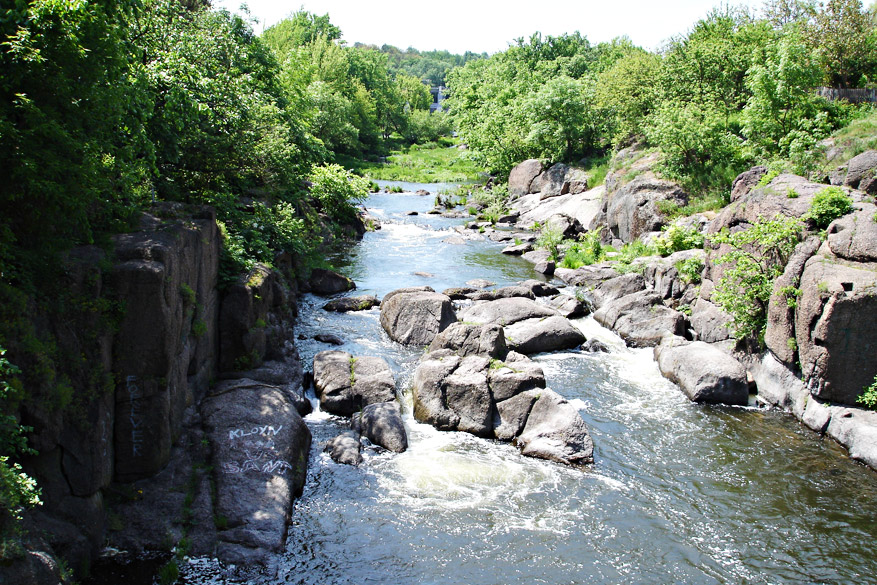
Watersheds, rivers, lakes

© Zesmill B.V.
Any society depends upon water, regardless of ways in which water is used. Only 8-9% of worldwide water use is for household purposes including water supply, sanitation and cleaning. In industry fresh water is used for boiler feed, cooling, washing, flushing, chemistry and metallurgy. The movement of water generates electricity at hydroelectric power plants. In agricultural operations adequate water is vital, especially in arid and semi-arid climates.
A variety of climatic processes influence hydrologic regime, resulting in river floods and flash floods, droughts and low stream flows, lake and reservoir level fluctuations. Floods are a natural fact of life on every river. Unfortunately, the number of reported catastrophic flood disasters in Europe increased considerably in 1997-2015. In Asia major flooding events in 2010’s affected more than 14 million people and caused an economic damage of more than 2.8 billion dollars. Meantime since 2002- 2003 severe droughts affected vast areas of Eurasia including Western India, Pakistan, Middle East, and Russia. In Asia and North Africa reduction in river runoff affects agriculture and water supply in domestic and industrial sectors.
Zesmill provides the complete range of hydrologic measurements and services to river basin management, flood forecasting and insurance, hydroelectric power generation, water supply, river banks and lake shores protection, including:
- hydrographic surveys (measurements of depth and bottom configuration of water bodies — rivers, reservoirs, lakes, channels)
- streamflow measurements and records
- water sampling, field temperature, transparency, conductivity, pH testing
- bed and bank material sampling
- river bed, reservoir, and lake sedimentation research
- watershed mapping and planning
- river and reservoir bank erosion analysis
- floodplain digital elevation models (DEMs), topographic maps, landscape/land use maps
- rapid-response flood imaging and mapping
- flood risk analysis, flood insurance calculations
- determine risks associated with bank and bridge scour, channel adjustment, variations of the watercourse
- hydropower resource assessment
- eutrophication monitoring of lakes, reservoirs, rivers, channels, and estuaries
- assessment of river, lake, reservoir health
Zesmill has a large inventory of instruments, tools and software for hydrometric and hydrologic data collection, including:
- Riverboat acoustic Doppler current profiler (ADCP)
- water current meters of different types
- HD370 shallow water echo sounder
- Van Veen sediment samplers
- surveying instruments (levels, total stations, geodetic-grade GPS receivers etc.)
Though many national metrological and hydrological agencies operate the networks of gauging stations of 200 stations or more, the field hydrological surveys are still in demand. Zesmill performs short-time and long-time periodic hydrometric studies by measuring water depths with conventional methods and the Doppler velocity meter. Methods of measuring stream flow fall into four categories: volumetric measurement; methods involving measure of average stream velocity and cross-sectional area; dilution gauging techniques; stream-gauging methods at natural sites or artificial constructions.
We use depth measuring (or sounding) and velocity measuring with a propeller-type current meters in selected sections across rivers, channels or smaller torrents. Because of the variation in velocity within a stream, the accuracy of discharge measurement depends on the number of measuring points. Also it is important for measurements to be carried out at multiple locations pre-determined with GIS modeling.
Since 2014 Zesmill has been employing the Acoustic Doppler Current Profiler (ADCP) attached to the small unmanned boat. Transmitting a sound pulse with a known frequency, the ADCP device measures water velocities, depths, and traverse length to compute discharge simultaneously. ADCP provides a continuous data collection throughout the water column and channel section. The optimal conditions for the ADCP measurements are low turbulence, consistent river bed, and a medium velocity rate.
Our specialists also perform water sampling, field temperature, transparency, conductivity, pH testing.
Water samples can be analyzed in the local certified laboratories. Our partners in Vrije Universiteit Amsterdam and MeteoLAB, Poland also perform in-depth physical, chemical and biological analysis of natural waters. Testing panels encompass multiple parameters including:
- physical — color, total dissolved solids (TDS)
- chemical — alkalinity, chlorophyll alpha, free chlorine, P, Fe, Mn, Mg, ammonium content etc.
- biological and microbiological tests.


