Oil spill detection and monitoring

© Zesmill B.V.
Oil pollution is one of the most destructive forms of damage to the marine environment.
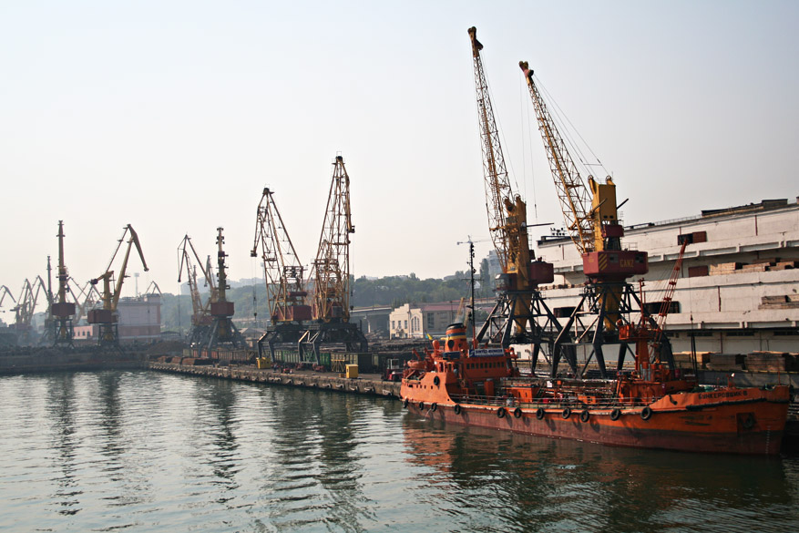
The offshore oil rigs and ocean tankers are considered to be the major sources of oil pollution. But in fact more than 60 per cent of the oil pollution in seas is leaks from ports, oil terminals, refineries, and other land-based sources. At the same time the large number of spills comes from vessels. Most of the oil discharged in the oceans cannot be ascribed to accidental spills, but rather to illegal ballast waters discharge, and to leakage from stern tubes and other submerged machinery.
For this reason, oil spill detection is of great importance, especially in coastal zones near the oil terminals and offshore exploration and production facilities. Several countries including Norway, Canada, Germany as well as European Maritime Safety Agency have implemented surveillance and oil spill detection systems which are financing by national environmental agencies.
Airborne and space-borne synthetic aperture radars (SAR) are known to be the most effective and widely used systems for oil spill detection. Only several countries in the world have a special aircrafts equipped with SAR, laser fluorosensors and microwave sensors for sea surface monitoring. By the other hand, the satellite radar imagery has been emerged since 2000’s. There are now five commercial space radar programs that can daily collect images with high resolution.
Oil slicks (but other films too) change surface tension and decrease radar backscatter level. Therefore oil spills appears as dark patches on SAR images that contrast with surrounding sea surface. Oil spills can also be detected at ultraviolet and near infrared bands as well as at images obtained with microwave radiometers. But SAR imagery interpretation remains the leading method for oil spill detection, due to its simplicity and broad applicability.
However oil spill detection is not a routine task performed by operator or automatically. The distinguishing oil spills from look-alikes is very important. For this purpose additional meteorological and oceanographic data have to be obtained and analyzed: the wind speed and direction, the water temperature, the atmospheric masses movement, and phytoplankton population. When it comes to coastal zone, coastal line configuration and coastal geomorphic features have to be taken into account.
Zesmill has been instrumental in the oil spill detection and monitoring in The Mediterranean, Aegean and Black seas, and The Caspian Sea. Our stuff members were involved in BlackSea ERA-NET Program founded under the Seventh Framework Programme (FP7).
At Zesmill we have the technical “know how”, the library of satellite images and spectral signatures, and extensive experience to detect oil spills from oil rigs, vessels, port structures, refineries and other sources. We have experience in processing and interpretation of Radarsat, TerraSAR-X, ALOS, ERS images. Manual oil spill detection is combined with image segmentation, classification, wavelet analysis and other techniques. We also analyze meteorological and hydrological information from various sources along with and AIS vessel traffic data.


