Agriculture
Remote sensing, mobile mapping, DGPS technologies and GIS analysis empower farmers and agriculture corporations to use geographic data. Site selection, microclimate surveying, soil mapping and analysis, crop identification and monitoring are areas of Zemsill’s activity. In Zesmill, we connect remote sensing (both aerial and satellite), traditional field methods and GIS-technologies for agriculture ever-changing needs.
Zesmill’s services include:
- microclimate zoning and microclimate map compilation for viniculture, gardening, potato and vegetables planting etc. (scale of maps are 1:12,000 – 1:100,000)
- site selection for farms and plantations
- aerial imaging, LIDAR and detail topographic mapping
- satellite image interpretation, moisture and vegetation indices (NDVI, NDSI, EVI) calculation
- crop identification
- crop monitoring
- mapping for grazing land management
- desertification assessment
- aerial and terrestrial surveys for property mapping, inventory, and assessment
Zesmill is also instrumental in soil mapping. We perform soil surveys using traditional methods, including soil pit digging, description and soil sampling, facial and catena analysis, soil erosion assessment and soil sample laboratory analysis.
In 2012–2013 our employees took part in the project for the remote sensing control of EU farms which were recipients of the EU's common agricultural policy (CAP) subsidies. For instance, in 2012, this program enabled the oversight of 349,000 farmers for their area-aid applications, representing 89% of the total EU27 required controls. JRC and some national agricultural institutions were the leading performers of this project. Experts who now are working for Zesmill were responsible for crop identification and plot mapping in Ireland, Italy, and Poland.
Also we were involved in other projects including the site selection for coffee and cotton plantations in the Republic of Angola, the field soil mapping and digital soil maps compilation project in Russian Far East. Together with our technical partners we were involved in several aerial imaging missions at the request of agricultural and food companies and local governments.
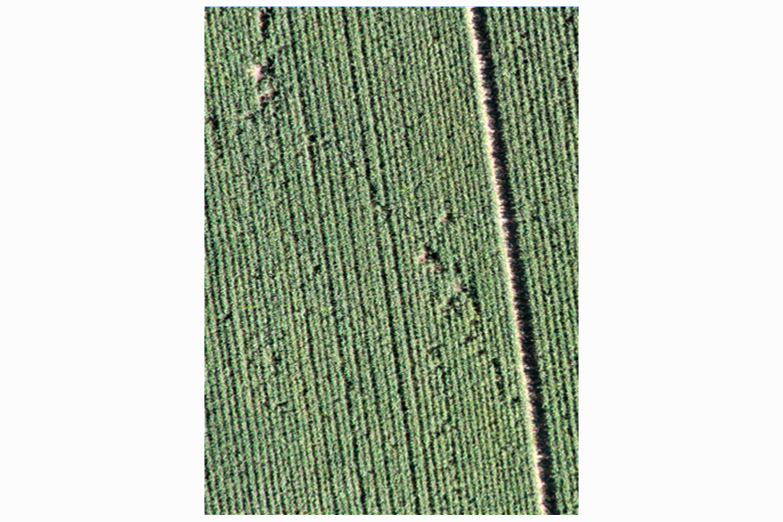
Wheat field (plants height 45-50 cm)
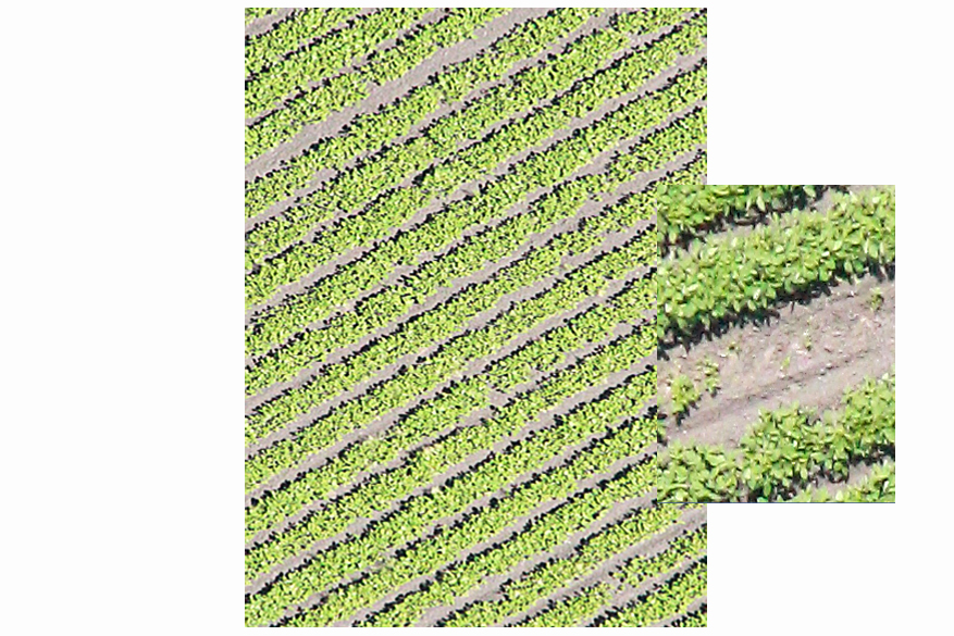
Soya field (plants height 16-27 cm)
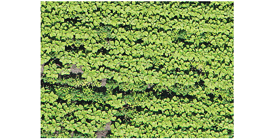
Sunflower field (plants height 55–65 cm). Aerial images are obtained by GeoscaneS company
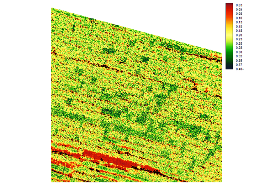
Vegetation index and weed detection


